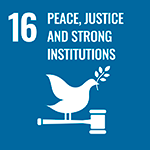
PROJECT

Ipoá

dots-bluedots-blue
icon-leafCategoryREDD+
icon-mapLocationAmazonas
icon-treesPreserved area17.386 ha
icon-calendarStart date17/03/2022
icon-timeDuration30 years

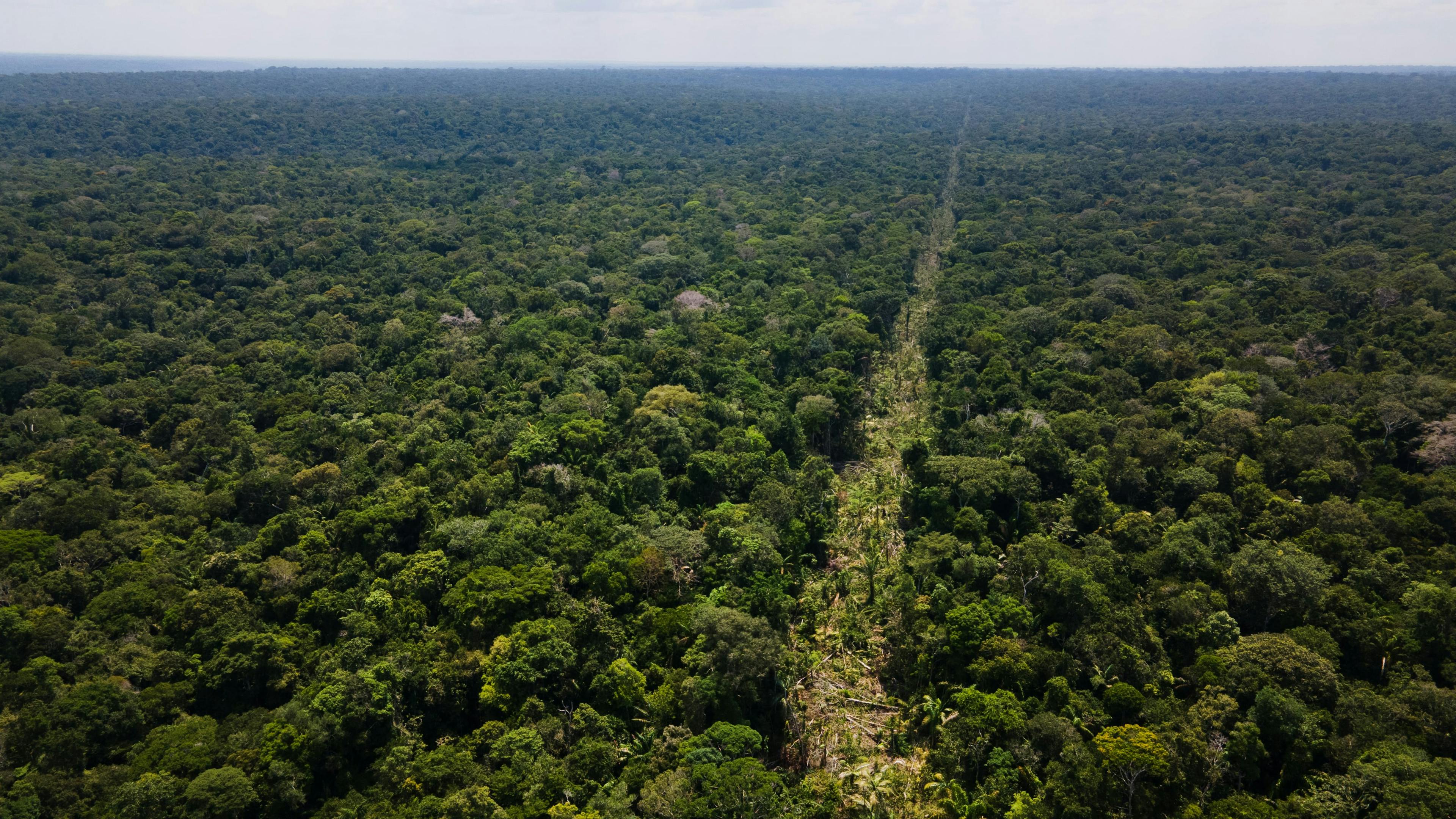
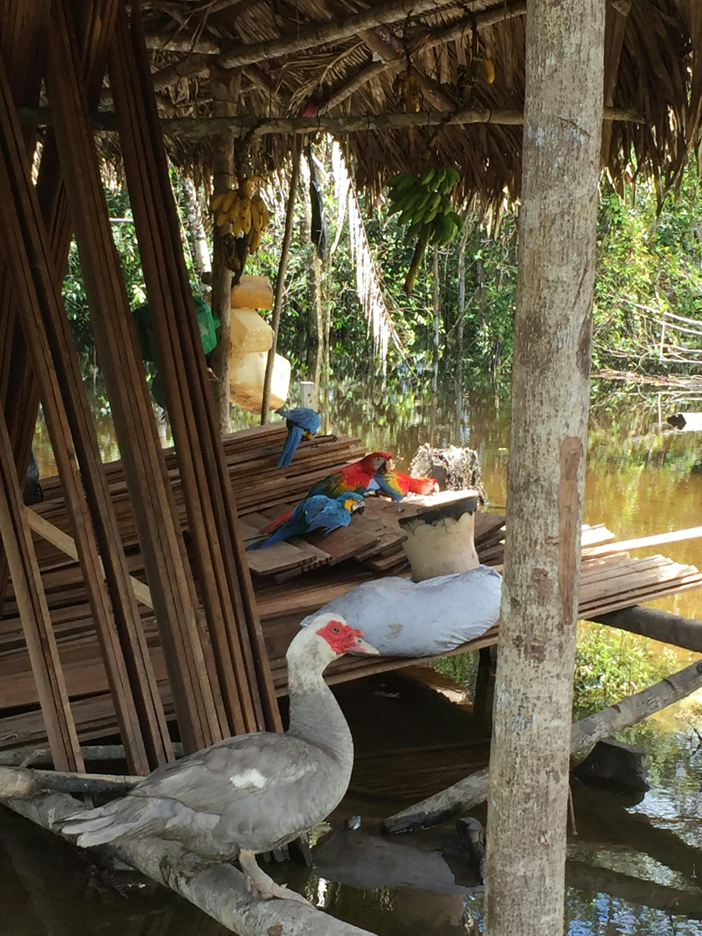
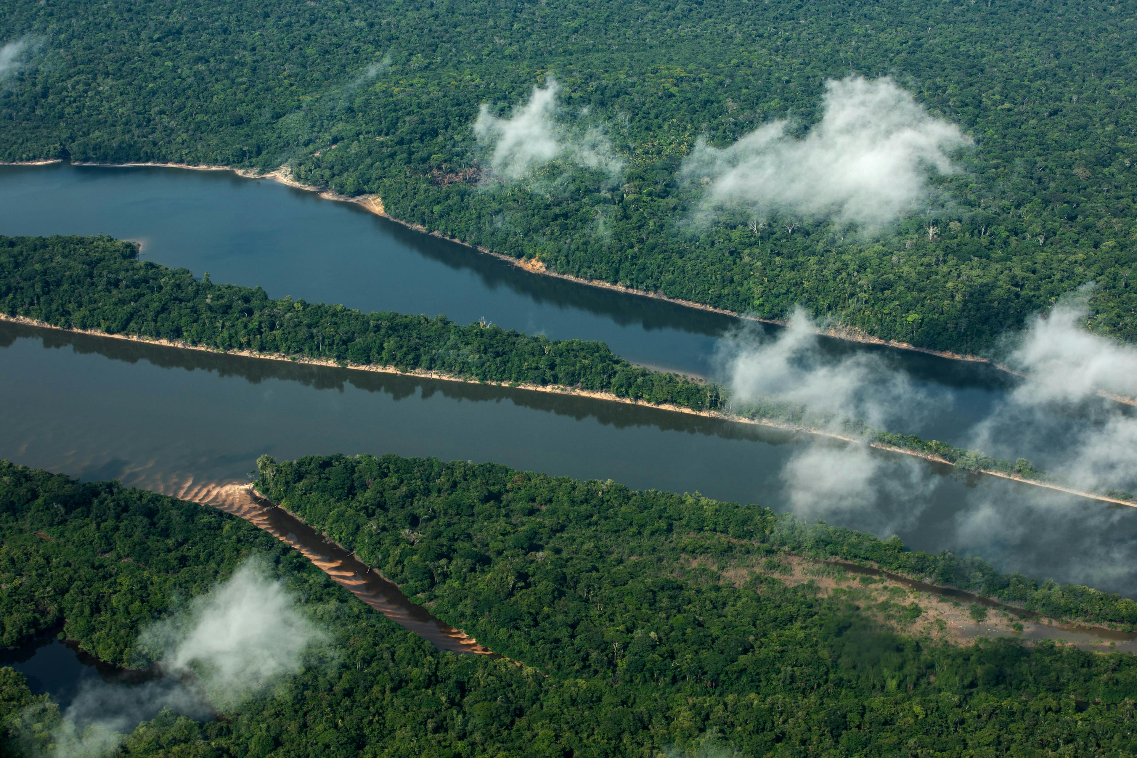
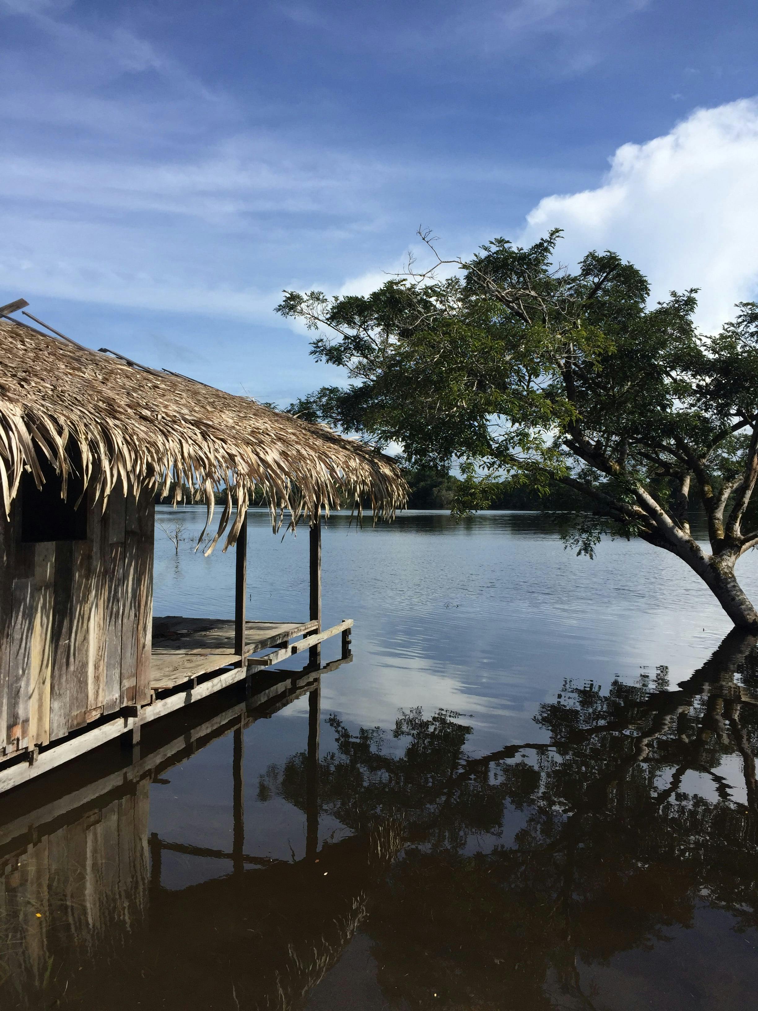
The IPOÁ REDD+ Project, located in the municipality of Novo Aripuanã in Amazonas, is divided into AUD (avoided unplanned deforestation) and APD (avoided planned deforestation) and aims to protect a portion of the Amazon rainforest area to reduce CO2 emissions and conserve biodiversity.

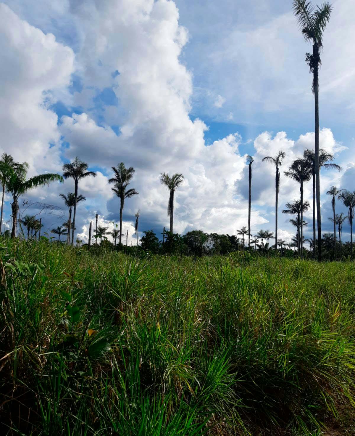
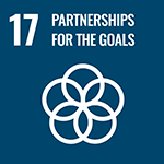
There are three traditional communities located in the Project zone and their residents basically live by collecting copaiba and harvesting wood.

dots-blue
Ipoa_depois.jpegIpoa_antes.jpeg
icon-mountain.png

Our challenge

Before the project was implemented, the Ipoá area suffered a deforestation rate of 0.0058% annually, which is equivalent to 1 soccer field being cut down every year. The main factor that led the region to lead the deforestation statistics was cattle-raising.

pixel-image
gradient-circle
icon-file

Our project

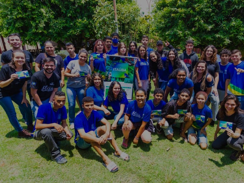
In 2022, we carried out the project's first public consultation, made a socioeconomic survey and distributed feminine and oral hygiene kits. Check out the project updates below.

icon-our impact-green-min.png

Our impact

co2.png

Carbon stored

11.191.072,38 tCO2eq

ipoa-CarbonoArmazenadoDJI_0081 copy-min.jpg
plant.png

Protected Plant Species:

358

ipoa-Espécies de plantas-min.jpg
paw.png

Benefited animal species:

682

area-with-pins.png

Area Prevented from Deforestation:

8.013 hectares

development.png

Annual Credit Generation:

4.218.463 VCUs

Sustainable Development Goals - UN

E-WEB-Goal-01.pngE-WEB-Goal-03.pngE-WEB-Goal-04.pngE-WEB-Goal-05.pngE-WEB-Goal-07.pngE-WEB-Goal-08.pngE-WEB-Goal-09.pngE-WEB-Goal-10.pngE-WEB-Goal-11.pngE-WEB-Goal-13.pngE-WEB-Goal-15.pngE-WEB-Goal-16.pngE-WEB-Goal-17.png

Discover our other projects

caapii-thumbnail-min.jpg

Caapii

icon-leaf

Category

REDD+

icon-map

Localization

Pará

icon-trees

Preserved area

35.000 ha

See more 
thumbnail-evergreen.jpg

Evergreen

icon-leaf

Category

REDD+

icon-map

Localization

Amazonas

icon-trees

Preserved area

130.554 ha

See more 
thumbnail_ituxi-min.jpg

Fortaleza Ituxi

icon-leaf

Category

REDD+

icon-map

Localization

Amazonas

icon-trees

Preserved area

46.592 ha

See more 
Group 1060-min.jpg

Hiwi

icon-leaf

Category

REDD+

icon-map

Localization

Acre

icon-trees

Preserved area

20.505 ha

See more 

Itaúba

icon-leaf

Category

REDD+

icon-map

Localization

Mato Grosso

icon-trees

Preserved area

14.400 ha

See more 
thumbnail-unitor.jpg

Unitor

icon-leaf

Category

REDD+

icon-map

Localization

Amazonas

icon-trees

Preserved area

99.035 ha

See more 
slider-icon
leafsleafsleafs